
Play Satellite View Earth Globe Map on PC Play Satellite View Earth Globe Map on PC and Mac
Satellite View Earth Globe Map opens a window to the entire planet, blending virtual tourism with practical navigation tools in the Travel & Local genre. The experience is built around interactive 3D street views and a detailed globe map, allowing you to explore famous destinations, plan routes, or simply satisfy your curiosity about faraway places. When played on PC through MuMuPlayer, the expansive world feels even more immersive, giving you a desktop command center for global discovery.
The application packs a surprising variety of utilities into one interface. You can scout tourist attractions with videos and images, find the shortest driving or walking routes, capture geotagged photos with a GPS camera, and even test your geography knowledge through a built-in quiz. Additional layers include real-time weather forecasts, a compass, an area calculator, a speed camera locator for drivers, and an aurora forecast that shows where the northern lights might appear. It all functions as a comprehensive travel companion rather than a simple map viewer.
MuMuPlayer transforms this mobile explorer into a full-scale desktop workstation. The larger monitor reveals crisp satellite imagery and HD street views without the eye strain of a small screen, while keyboard and mouse controls make route planning, zooming, and switching between tools like the FM radio or ISD code lookup far more efficient. Multitasking becomes seamless too: you can keep the globe map open on one side of your screen while researching travel details or sharing coordinates on another, all with the stability and performance that MuMuPlayer provides for extended virtual journeys.
Download Satellite View Earth Globe Map on PC or Mac with MuMuPlayer, get a PC like gameplay along with smart control and high graphics performance.
MuMuPlayer, the top Android emulator for PC and Apple silicon Mac, delivers an optimal gaming experience with minimal RAM usage and high FPS. It also allows you to create multiple instances of the emulator and run several games simultaneously, thanks to its Multi-instance feature. Its advanced emulator features ensure smooth gameplay, even on low-end PCs.
Download and play Satellite View Earth Globe Map on PC or Mac with MuMuPlayer and start enjoying your gaming experience now.
About the Game
Satellite View Earth Globe Map brings the entire universe to your fingertips through an all-in-one exploration platform. Designed for travelers, geography enthusiasts, and curious minds, the application merges high-definition satellite imagery with interactive 3D street views, turning your device into a virtual window that looks out onto any corner of the world. Whether you are planning a real trip or simply wandering digitally from home, the app supplies the tools to navigate, discover, and learn about countless destinations across the globe.
A standout aspect of the experience is the depth of its tourist attraction coverage. When you select a famous or historical site, the application does more than just drop a pin on a map. It presents curated videos and images that bring the location to life, while simultaneously displaying practical information such as local weather conditions, the current time zone, and precise latitude and longitude coordinates. This combination of visual preview and contextual data helps you understand a place before you ever set foot there.
Navigation forms the backbone of the app, and it handles this role with flexibility. The route finder plans efficient paths for driving, walking, and cycling, calculating the shortest possible journey across different areas and countries. Once you are on the move, the route tracker logs your progress, making it a reliable companion for long journeys. Drivers will particularly appreciate the speed camera locator, which identifies nearby cameras on the map and allows you to search for them in any desired location, promoting safer and more informed travel.
Beyond navigation, the application integrates a GPS map camera that stamps each photo you take with the current address, weather conditions, latitude, longitude, and date. This turns ordinary snapshots into detailed travel records that you can instantly share with friends or family. The earth camera feature extends your view even further by granting access to live webcams from different countries, letting you observe real-time scenes from popular spots around the world without leaving your seat.
Several educational and utility functions are woven throughout the interface. The globe quiz challenges your geography knowledge with twenty multiple-choice questions, asking you to identify countries and learn as you go. A detailed globe map view lets you browse all countries while showing estimated satellite distances and key facts such as language, population, and time zone. For quick references, the compass provides an accurate sense of direction, the area calculator measures spaces precisely, and the STD/ISD code tool helps you find dialing codes for every country. An age calculator and a GPS-based time feature that shows real-time clocks for all countries round out the practical toolkit.
Weather and natural phenomena tracking add another useful dimension. The weather module delivers accurate forecasts including today's temperature, a seven-day outlook, and sunrise and sunset times, all tailored to your current location. A dedicated aurora forecast updates daily to show which parts of the earth have a probability of displaying the northern lights, helping aurora chasers plan their viewing opportunities.
Street view exploration is enriched with location-based videos and road footage links, providing free visual navigation aids for your trips. You can browse famous places through these street-level perspectives, gaining a realistic sense of roads, landmarks, and surroundings. The my location tool pinpoints where you are on 2D or 3D map types and allows you to share that position with anyone. Additionally, the GPS navigation module reveals your altitude and elevation alongside your coordinates, and an FM radio feature lets you tune into channels from any selected country, adding a local audio atmosphere to your virtual travels.
From satellite views and route planning to quizzes and webcams, Satellite View Earth Globe Map consolidates dozens of travel and learning features under one roof. It serves as a map, a guidebook, a camera, a weather station, and an entertainment hub, making it a versatile choice for anyone who wants to engage with the world in a richer, more interactive way.
Emulator Features
Highest Android 15 Support Best Compatibility on Mac
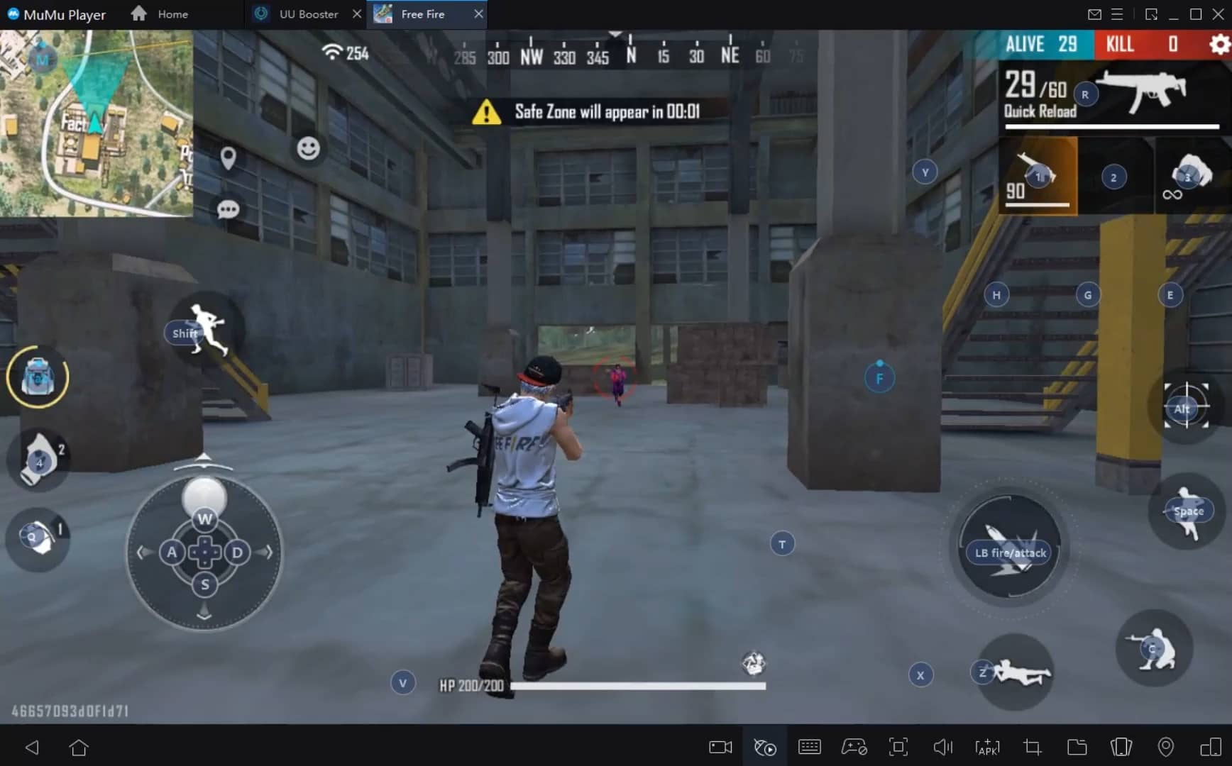
With a smart button scheme and image recognition function, provide a more concise UI, and support custom button mapping to meet different needs. With a smart button scheme and image recognition, enjoy a cleaner UI and custom button mapping to fit different gaming needs on Mac.
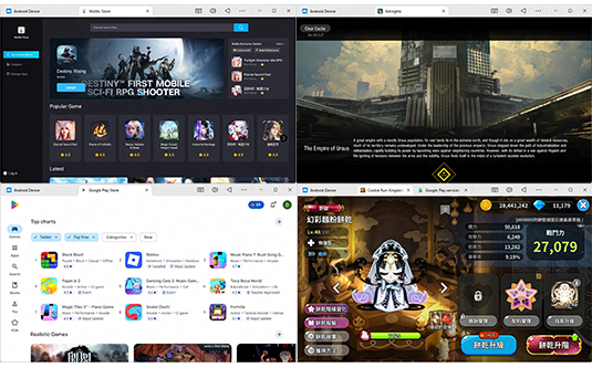
Run multiple games independently at the same time, easily manage multiple accounts, play games while hanging. Take your Mac gaming further with multiple independent instances, easy account management, and seamless AFK gaming on Apple Silicon Mac.
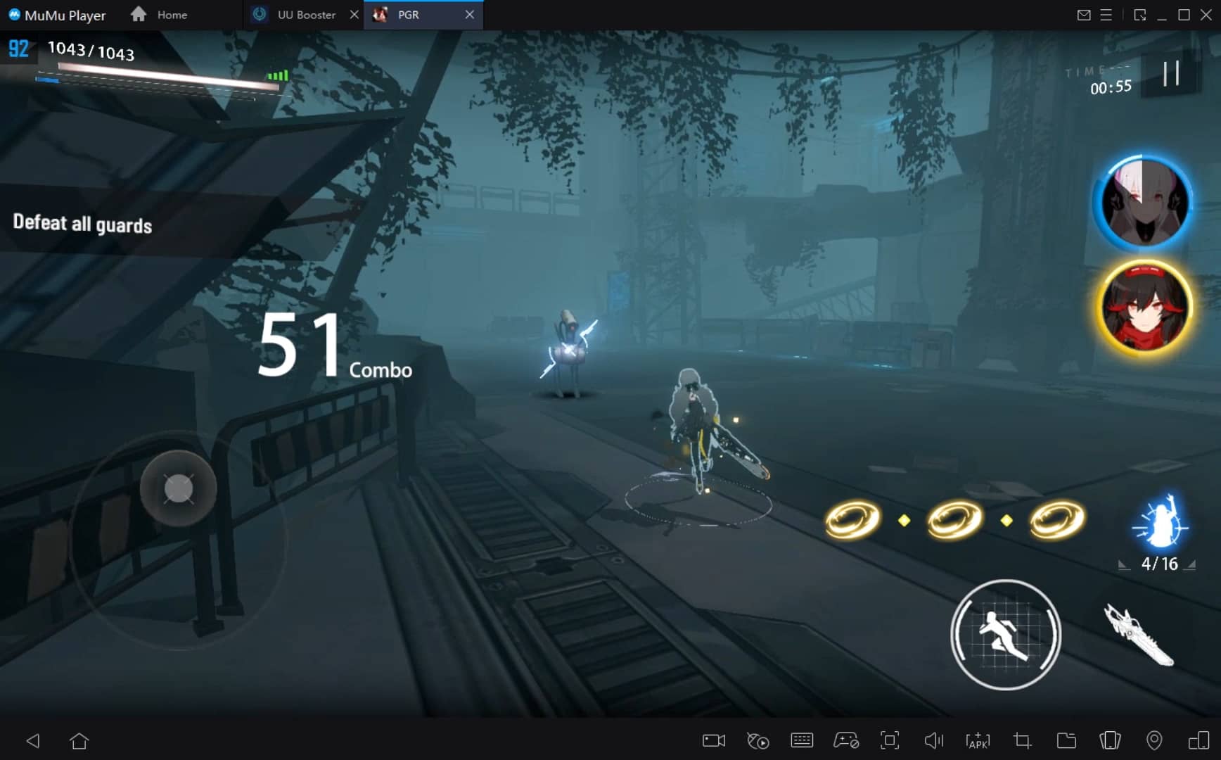
Break through FPS limit, and enjoy a seamless gaming experience without lag and delay! Break through FPS limits for a seamless, lag-free gaming experience on MacBook, Mac mini, iMac, and Mac Studio.
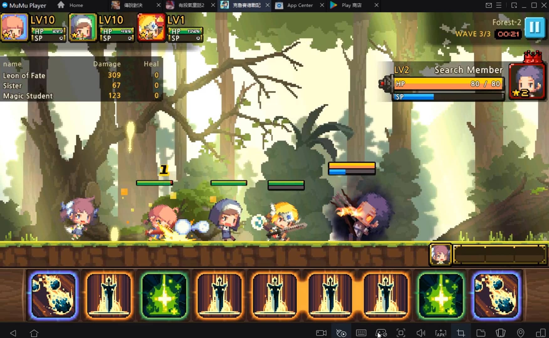
Get a 3-second startup with 52% less memory usage and 65% more stability. Enjoy 3-second startup, 52% less memory usage, and 65% greater stability on Apple Silicon Mac.
How to Download and Play Satellite View Earth Globe Map on PC and Mac
Installation Guide
Download MuMuPlayer
Download MuMuPlayer and install it on your PC or Mac
Sign-in Google Store
Complete Google sign-in to access the Play Store
Search and Install
Search Satellite View Earth Globe Map in the Play Store
Enjoy Gaming
Enjoy 120 FPS high-def gameplay with big screen
System Requirements
Windows PC
Vulkan / DirectX supported. 4 cores + 4GB RAM recommended. Up to 240 FPS. VT required.
macOS
Recommended: Apple Silicon Mac with 8GB RAM or above. Up to 240 FPS.